Anamosa GIS Database
- Local Governments
- Public Utilities
Market
- Engineering
- Geospatial
- GIS
- Potable Water
- Water
- Water Resources
Services
- Anamosa, Iowa
Locations
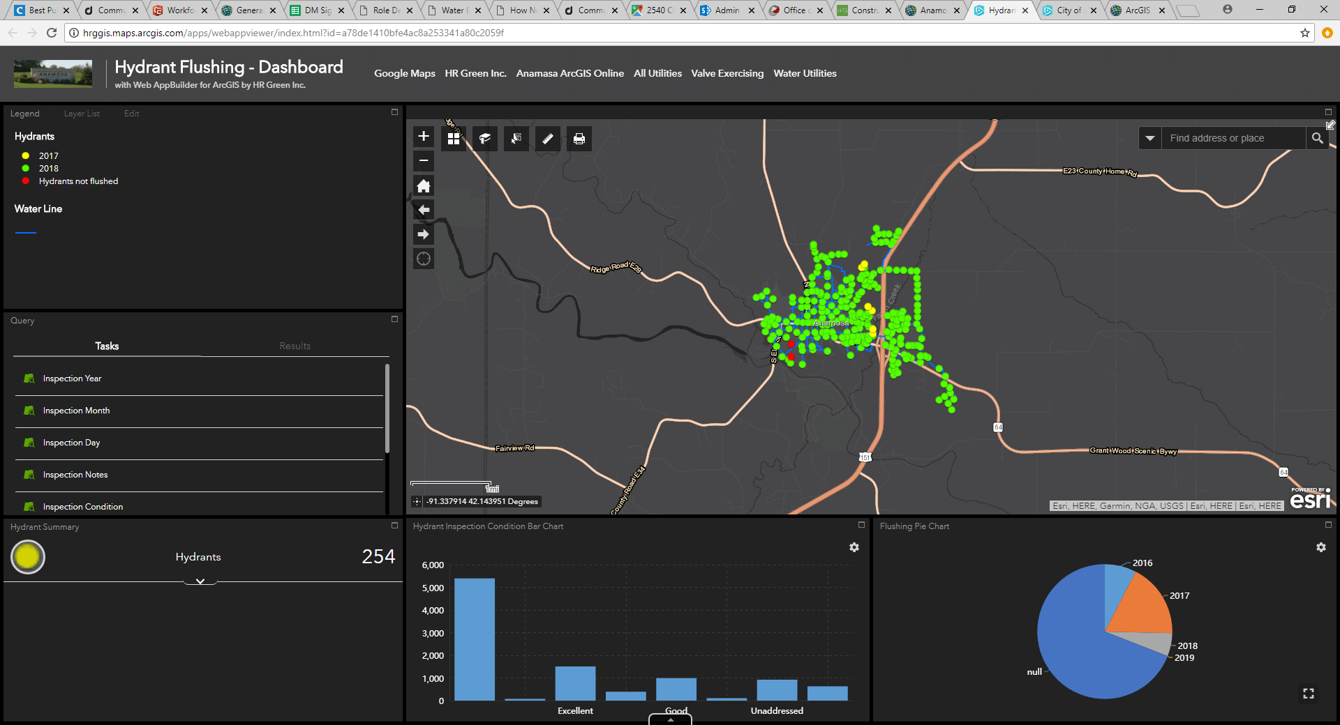
Over the course of multiple HR Green projects, the City of Anamosa has incrementally grown its Utilities Geographic Information System (GIS). HR Green was originally hired to evaluate the City’s existing water distribution system and prioritize improvements in the form of a comprehensive Capital Improvement Plan (CIP). This need served as the impetus for HR Green’s development of a City GIS database and a comprehensive field inventory of the City’s water distribution system. GIS database design and collection efforts allowed for efficient integration with WaterGEMS V8i hydraulic modeling software.
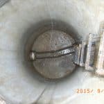
In a subsequent project, HR Green added stormwater and sanitary sewer utilities into the City’s GIS database, migrated existing electronic data into the GIS, and performed a phased GIS inventory of the city’s storm and sanitary manholes, ultimately including a National Association of Sewer Service Companies (NASSCO) Level 1 Inspection. Data and inspections were performed on 524 sanitary sewer manholes, 44 stormwater manholes, 456 storm inlets, and 95 stormwater outlets. Topologically-correct digitizing of sewer and stormwater mains was performed inside GIS following the field inventory. For the sanitary system, flows and inverts were associated with all pipes. An asset condition was given to each sanitary structure to aid in CIP decision-making.
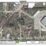
City GIS data is accessed through the internet under a secured password and username. Mobile applications were created for updating and collecting data in the field via tablets or smartphones. In addition, color 11×17 map books were developed for use by field personnel.
